
GISGovernment dataAutomation
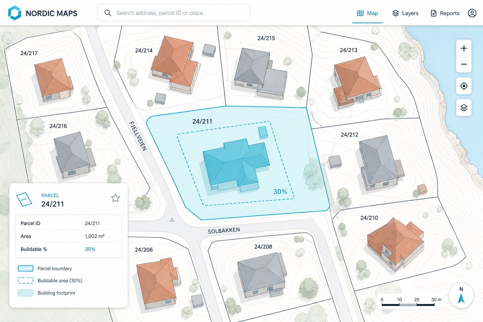
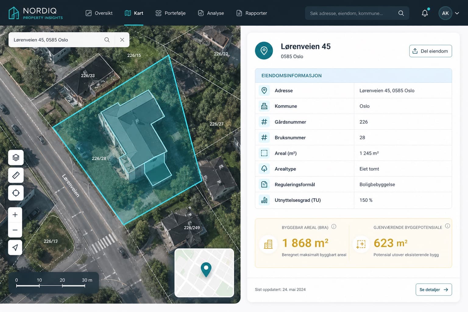
Pulled parcel boundaries from Norway's public map layers, including a 30% building allowance, and delivered them as structured geometry ready for downstream GIS work.
Need something similar?
Tell us your source and fields — we'll reply with scope and timeline.
Get a quote